Nine people began the walk at the Anglesea River and walked towards the boardwalk and Demons Bluff.
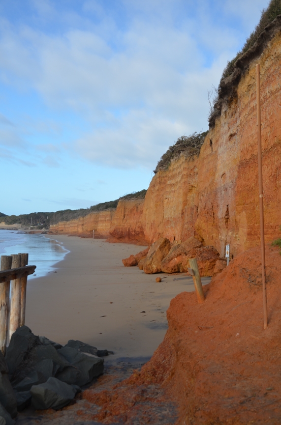
The weathered, unstable sandstone cliffs are millions of years old. They are 30 to 50 metres high and rips dominate the beach below. The Anglesea water treatment outlet enters the water at this point. The weathering has leached carbon rich content to the lower layers making the cliff look like two different rock types.
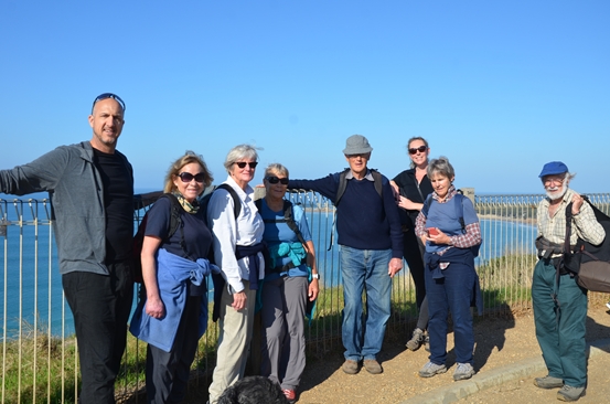 Our intrepid group
The carbon layer of Demons Bluff can be seen through the mist.
From there we walked through the dry Anglesea River entrance and looked back to the power station built on the coal seams that originated from the shallow flood and swamp waters that collected in the earliest times of the Victorian coast..
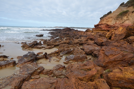
The layers of iron filled rocks below the Anglesea Surf Life Saving Club
The dynamic rock faces near the 1973 landslide
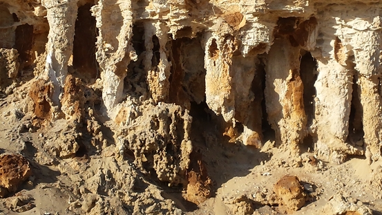
Soapy Rocks – The burnt ochre staining caused by Iron minerals from the Aireys Inlet volcano.
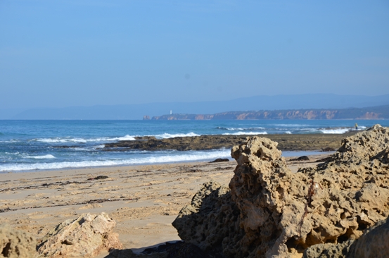
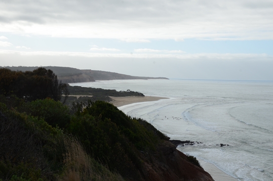
The view to the Aireys Lighthouse and the volcano that impacted the formation of this coast (now under the ocean)
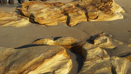
Our final stop – Calcium deposits at Point Roadknight which are 1000’s of years old rather millions.
Doug Couper
Reference: Written in Stone: Reading the Rocks of the Great Ocean Road, Philomena Manifold